Earthquake rattles the Philippine Islands region.
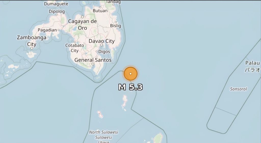
Image Credits: earthquake.usgs
A magnitude 5.3 earthquake struck the Philippine Islands Region on February 14, 2026, at 17:23 GMT (around 1:23 AM local time on February 15 in affected areas), with a moderate depth of 78 km. No immediate reports of significant damage or casualties have surfaced, consistent with the region’s frequent seismic activity where such events are common but often low-impact.
The quake’s epicenter was in the Philippine Islands Region, a known seismically active zone due to the country’s position on the Pacific Ring of Fire. PHIVOLCS, the Philippine Institute of Volcanology and Seismology, monitors dozens of similar tremors daily, with no special bulletins indicating widespread effects from this one as of latest updates. Depth at 78 km suggests it was not shallow enough for intense surface shaking.
Local authorities have not reported any damage so far.

